Closing in
0
...
Menu
Search
LATEST
POPULAR
AIRCRAFT FOR SALE
SECTIONS
Business Aviation
Defense
Aerospace & Air Transport
FutureFlight
Rotorcraft
General Aviation
SUSTAINABILITY & ENVIRONMENT
CHANNELS
Aircraft
Maintenance
Avionics
Charter & Fractional
Safety
All Categories
News Archive
Newsletter Archive
MORE
AIN FBO Survey
Airshows & Conventions
Aviation Events
Compliance Countdown
Expert Opinion
In-Depth Reports
Leeham News & Analysis
Print Archives
Videos
Webinars
Whitepapers
ABOUT
About AIN
Our Writers
History
Advertise
Contact Us
Subscribe
LATEST
POPULAR
AIRCRAFT FOR SALE
SECTIONS
ABOUT
Search
Subscribe
Search
Safety
HAI Advises on GPS Interference
Advice comes out as latest round of interference testing begins in Barstow, California.
Share
Post
Share
Print
Copy
Email
By
Kerry Lynch
• Editor, AIN monthly magazine
January 15, 2018
More In Safety
AINsight: Explaining the Unexplainable Pilot ‘Action Slips’
Cognitive error during an automatic/routine task can turn deadly for aircraft crews
Safety
Bizav Safety Compliance Isn’t Enough, Says Wyvern CEO
Bates links emotional intelligence and safety culture, poses questions for leaders
Safety
Orbis Showcases Sight-saving Role at Farnborough Airshow
MD-11 airliner serves as a flying eye hospital
Safety
FAA SAFO Recommends Operators Save CVR Recordings
Concern is that valuable safety data is not being saved after an incident
Safety
Nimbl: Procedural Errors Top Cause of Bizav Incidents
Most reports cited two or more contributing risk factors
Safety
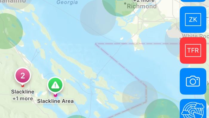
Hughes App Highlights Slacklines in Route Planning
Free service helps pilots evaluate risk before flight
Safety
Wisk, Boeing Sued over eVTOL Software Safety Claims
Fired software manager alleges retaliation, discrimination
Safety
Helping Families through Emergencies
Fireside Partners’ Gina Shealy advises on the difficult task of family notification
Safety