Closing in
0
...
Menu
Search
LATEST
POPULAR
AIRCRAFT FOR SALE
SECTIONS
Business Aviation
Defense
Aerospace & Air Transport
FutureFlight
Rotorcraft
General Aviation
SUSTAINABILITY & ENVIRONMENT
CHANNELS
Aircraft
Maintenance
Avionics
Charter & Fractional
Safety
All Categories
News Archive
Newsletter Archive
MORE
AIN FBO Survey
Airshows & Conventions
Aviation Events
Compliance Countdown
Expert Opinion
In-Depth Reports
Leeham News & Analysis
Print Archives
Videos
Webinars
Whitepapers
ABOUT
About AIN
Our Writers
History
Advertise
Contact Us
Subscribe
LATEST
POPULAR
AIRCRAFT FOR SALE
SECTIONS
ABOUT
Search
Subscribe
Search
Unmanned Aerial Vehicles
Study: Small Drone Flights Often Unsafe
Operators Fly Too High, Close To Airports
Share
Post
Share
Print
Copy
Email
By
Mark Huber
• Contributor
October 24, 2018
More In Unmanned Aerial Vehicles
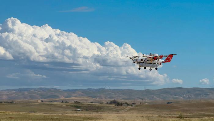
Kratos To Build Chaparral Cargo VTOL in Sacramento
Elroy Air plans fourth-quarter public listing via SPAC
Unmanned Aerial Vehicles
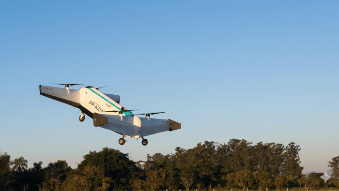
Moya Begins Building Full-scale Autonomous Cargo eVTOL
Brazilian start-up expects to fly the Moya 760 by year-end
Unmanned Aerial Vehicles
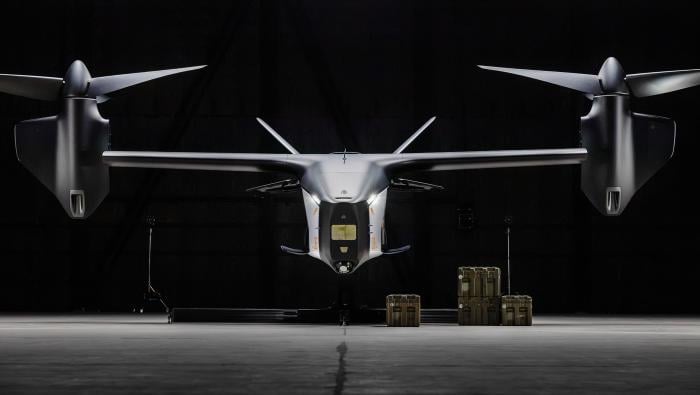
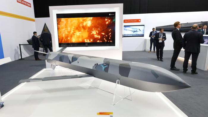
BAE Unveils Brontanax CCA
The first example is essentially complete and will fly next year
Unmanned Aerial Vehicles
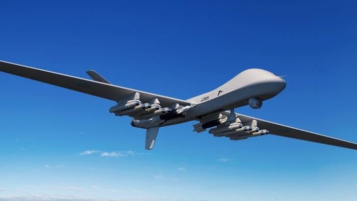
General Atomics Adds More Weapons to SkyGuardian
Paveway IV, Brimstone, Spear, and JSM are being added to the MQ-9B’s arsenal
Unmanned Aerial Vehicles
Japanese Leasing Group Backs Archer's Halo Utility Drone
Halo is the commercial version of the Thunder autonomous platform
Unmanned Aerial Vehicles
BAE Systems’ Blizzard Hits Farnborough
BAE Systems FalconWorks is collaborating with the Skunk Works on a multi-mission air vehicle
Unmanned Aerial Vehicles
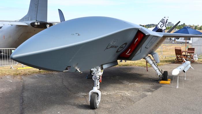
Ahead of the Rest: MQ-28 Nears Australian Service
RAAF will become the first air arm to operate a collaborative combat aircraft
Unmanned Aerial Vehicles
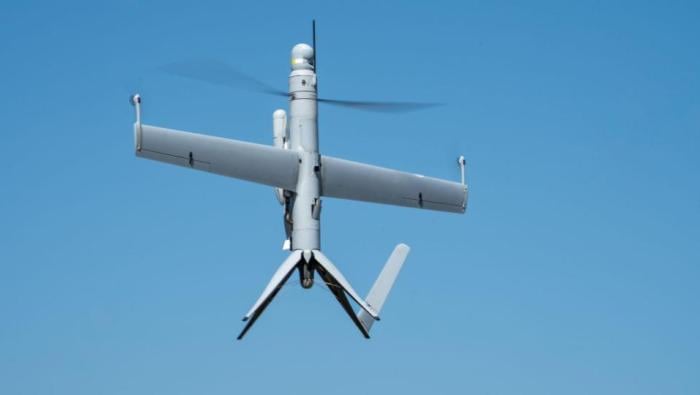
Voyageur Orders Airbus Flexrotor for Canadian ISR
Uncrewed Airbus platform can fly 12-hour missions
Unmanned Aerial Vehicles